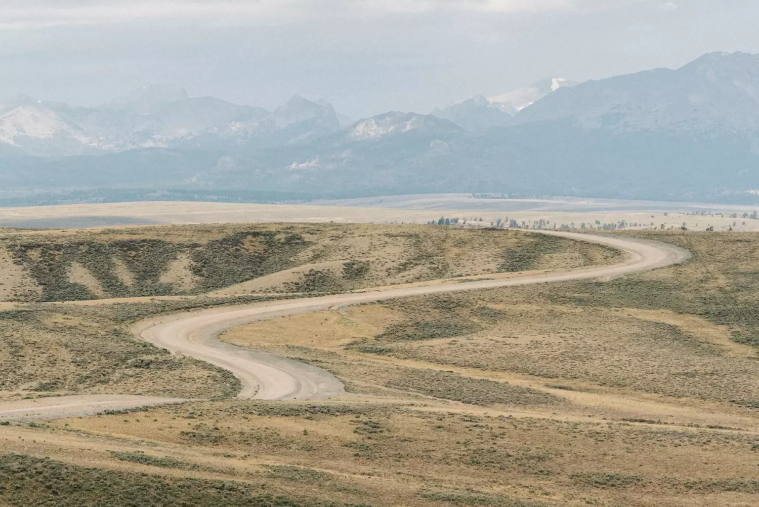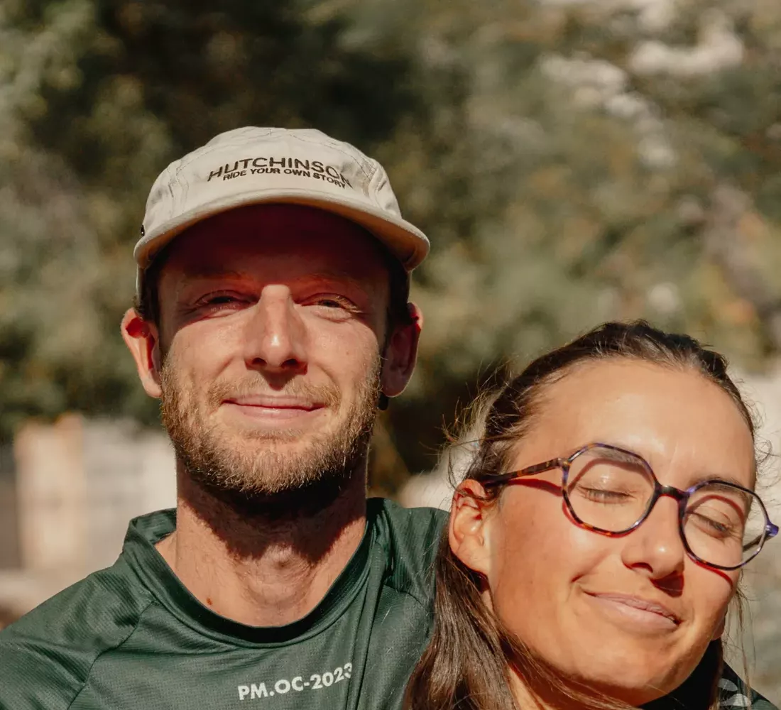
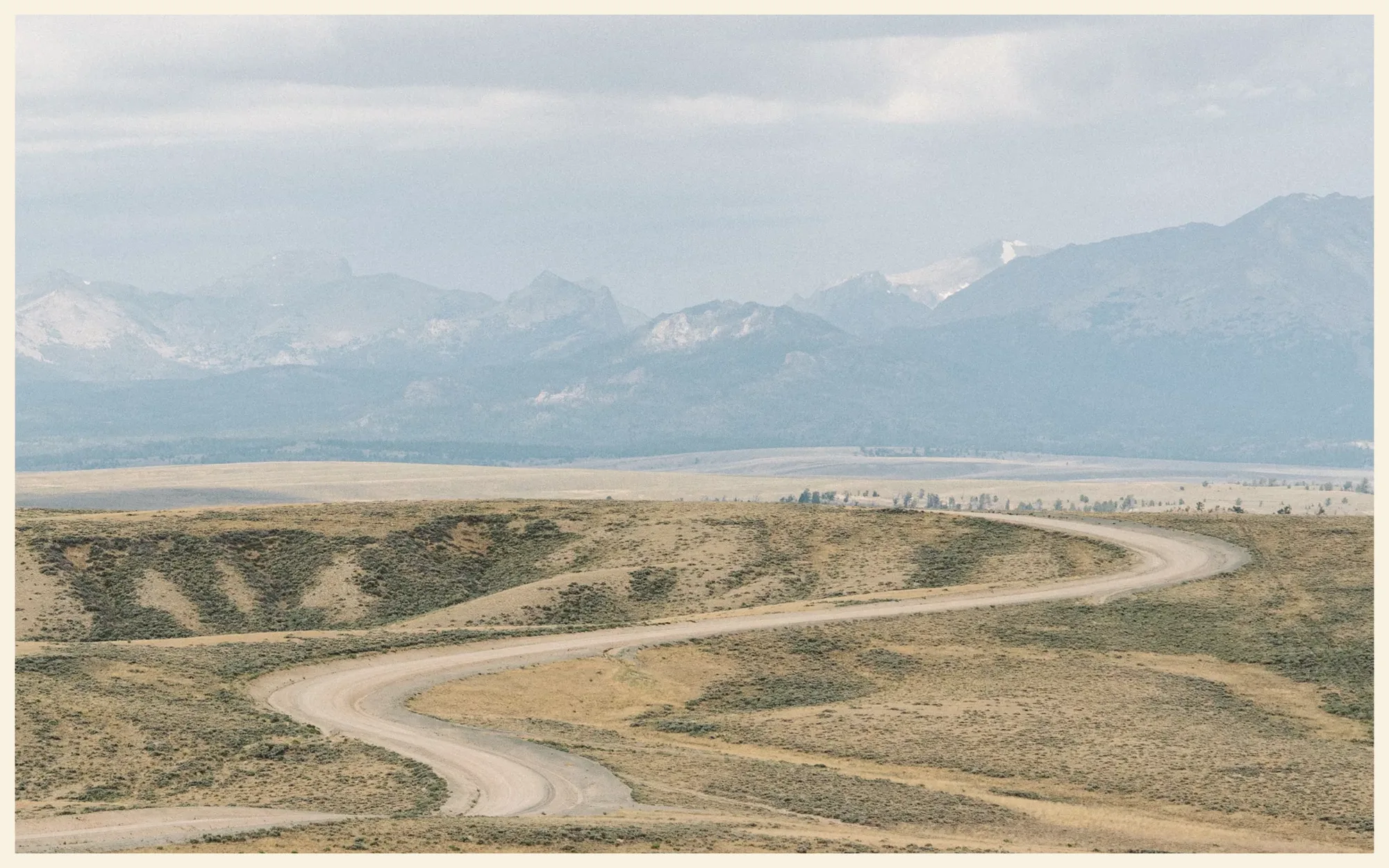
The Great Divide Mountain Bike Route (GDMBR) is the classic gravel route that follows the Rocky Mountains from Canada to the Mexican border: 2,696 miles (4,339 km) from Banff to Antelope Wells, New Mexico, almost entirely on dirt roads. We chose it to kick off our journey through the Americas in June 2024, and we rode nearly 2,000 miles (3,200 km) of it, to Sargents, Colorado, before turning off toward Utah. In this guide, we give you everything you need to plan your own ride: the route section by section, the season, the bike, water, bears, paperwork for Europeans and the budget. And our mishaps too, because we had a few!
- 2,696 mi
- from Banff to Antelope Wells (4,339 km)
- ≈ 150,000 ft
- of climbing (45,600 m)
- 1,980 mi
- that we rode, as far as Sargents (3,194 km)
Our track, from Calgary to Sargents The rest, not ridden
In short
- 2,696 mi (4,339 km) from Banff (Alberta) to Antelope Wells (New Mexico) on the 2026 Tour Divide track, nearly 3,100 mi (5,000 km) from Jasper: the Great Divide is often described as the longest off-pavement route in the world.
- About 150,000 ft (45,600 m) of climbing, 90% dirt roads and a high point of 11,910 ft (3,631 m) at Indiana Pass, Colorado. Not very technical, but long, high and remote.
- From late June to mid-October, riding north → south. Allow 6 to 10 weeks for the whole route.
- Our Great Divide: 1,980 miles and 119,500 ft of climbing (3,194 km and 36,437 m) from Banff to Sargents, June to August 2024, on bikes weighing 100 to 110 lb (45 to 50 kg). Bears, 87 mi (140 km) in the desert, a month of tears… and one of the best bikepacking schools there is.
- For Europeans: an ESTA covers 90 days in the United States. To take your time, like we did, you need a B-2 visa.
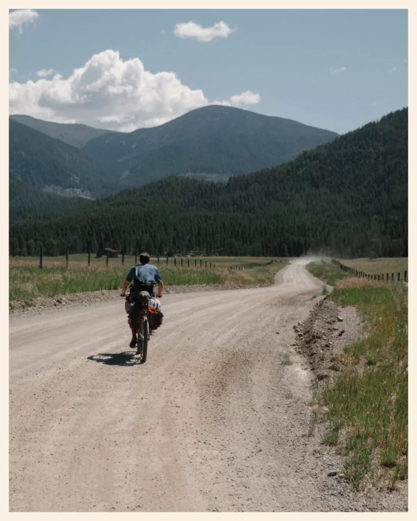
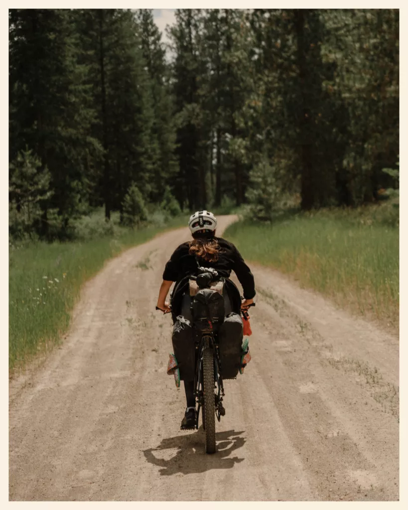
01 · The route
What is the Great Divide Mountain Bike Route?
The Great Divide follows the Continental Divide of the Americas: on one side, rivers flow to the Pacific; on the other, to the Atlantic. The route crosses it 30 times. It runs through two Canadian provinces, Alberta and British Columbia, then five US states: Montana, Idaho, Wyoming, Colorado and New Mexico.
The route was born in the 1990s at the Adventure Cycling Association, an American bicycle travel organization. Gary MacFadden, its director, came up with the idea, and Michael McCoy mapped it over four years. The route opened in 1997, starting at the Canadian border in Roosville. It was extended into Canada, to Banff, in 2003, then to Jasper in 2018.
On the ground, it’s mostly forest roads and dirt roads, far from cities, with very little singletrack. Nothing is marked: you need a GPS or maps. Many consider it the birthplace of bikepacking, that light, self-supported way of traveling by bike on dirt.
Great Divide Trail or Great Divide Mountain Bike Route?
Don’t mix them up: the Great Divide Trail is a Canadian hiking trail, designed for walking. On a bike, the Great Divide Mountain Bike Route is the one you want.
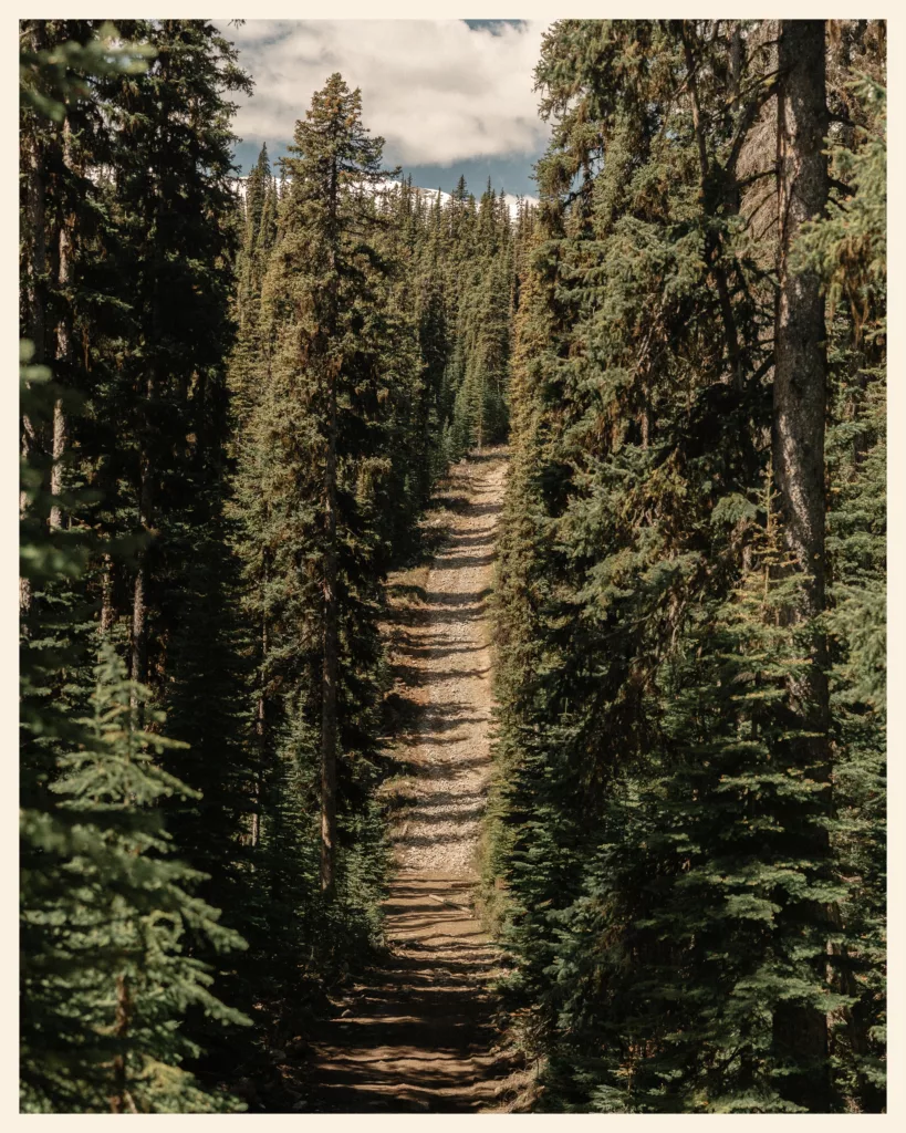
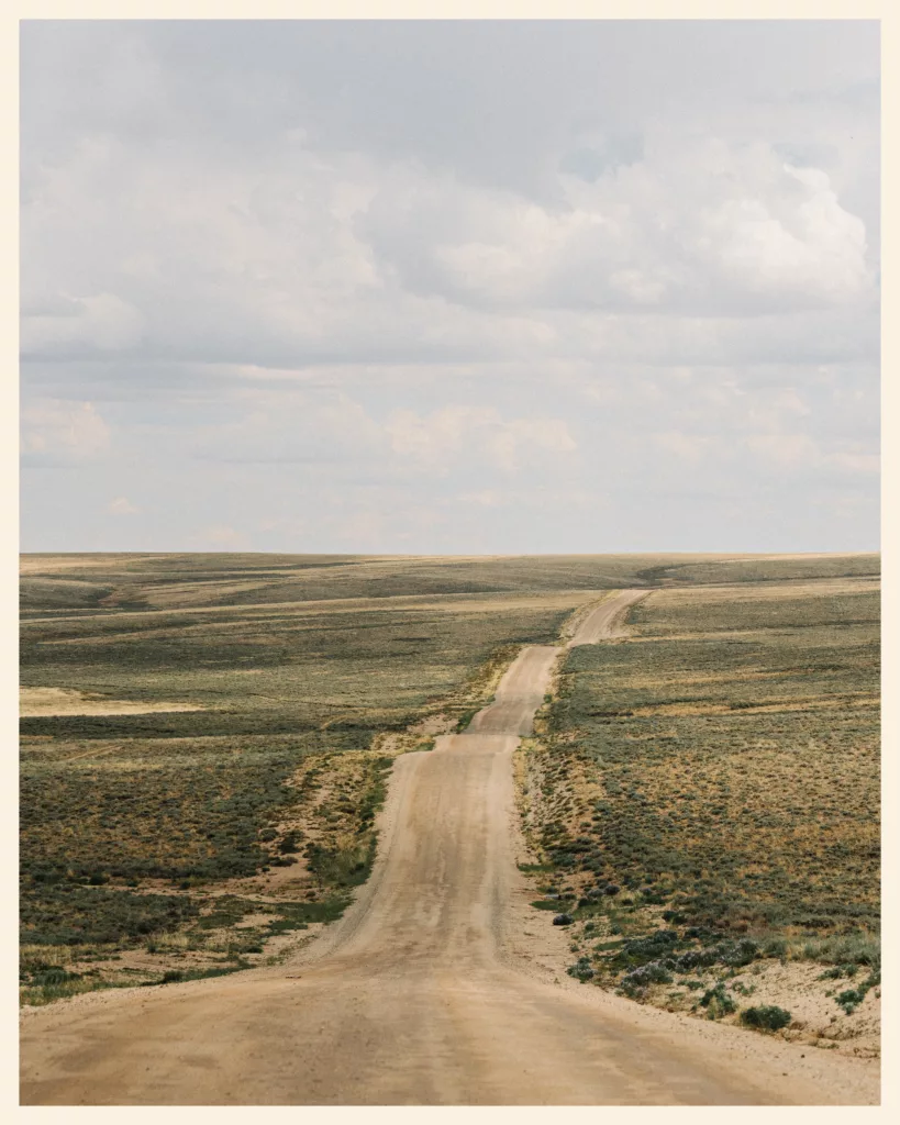
Why we chose it
For a first big trip, the Great Divide is an excellent school. The physical challenges are real, but it gently teaches you wild camping, resupplying and managing water. And you’re never alone: retirees, gap-year students, travelers from all over the world, plenty of cyclists ride it every summer.
And I had dreamed of it for a long time. Every year, I spent evenings “dot watching”: following the little GPS dots of Tour Divide racers live on a map. The longest off-pavement route in the world to kick off our journey through the Americas? Hard to beat!

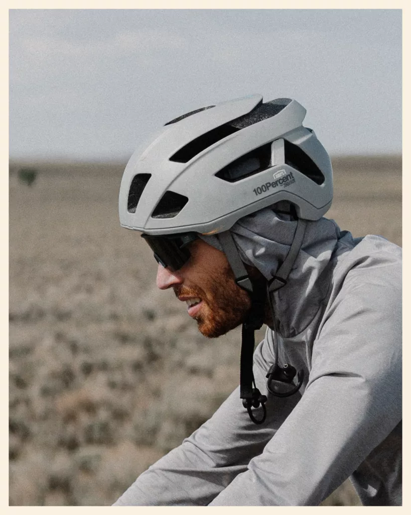
Plan your Great Divide at a glance
When to go
- J
- F
- M
- A
- M
- J
- J
- A
- S
- O
- N
- D
- June: snow on the northern passes
- July and August: long days, heat, afternoon storms
- Late June to September: monsoon in New Mexico
Water and food
- Canada and Montana½ gallon (2 L) often enough, with a filter
- Great Basin≈ 2.5 gallons (10 L) each, from Pinedale to Rawlins
- New Mexico3 to 4 gallons (11 to 15 L) on the driest stretches
A town every 2 to 3 days to resupply.
Where to sleep
1 night in 3 at wild sites, according to the Adventure Cycling Association
- Wild camping free
- Warmshowers free
- Campground $20 to $30
- Motel €60 to €100
The budget
- Campground site
- $20 to $30
- Motel
- €60 to €100
- Motel in Breckenridge
- ≈ €200
- Restaurant burger
- from €15
- Yellowstone, Grand Teton (non-residents)
- + $100
- Annual non-resident pass
- $250
Bears
Bear spray within reach, food never in the tent.
Paperwork
- ESTA
- up to 90 days, even when entering from Canada by land
- B-2 visa
- beyond that: a $185 fee per person and an interview
- Roosville border
- a $30 fee for us
- Flying into Canada
- an eTA
02 · In numbers
Our Great Divide in numbers
Our sections, story by story
DistanceElevation
Total, Banff to Sargents · just over 2 months1,980 mi119,500 ft
Includes our short rides around town on rest days, plus detours such as Yellowstone and our Colorado Trail attempt. The stretch we did by truck, from Radium to Frisco, isn’t counted. All our tracks are on the Route & stats page.
| Section | Story | When | Distance | Elevation gain |
|---|---|---|---|---|
| 1 | Canada: Banff → Eureka | June 2024 | 245 mi | 15,900 ft |
| 2 | Montana: border to Helena | June 29 to July 12 | 395 mi | 26,000 ft |
| 3 | Montana: Helena to Red Rock Lakes | July 13 to 20 | 320 mi | 19,600 ft |
| 4 | Idaho and Wyoming: to the Colorado line | July 21 to August 8 | 1 mi | 35,400 ft |
| 5 | Colorado: border to Sargents | August | 310 mi | 22,600 ft |
| Total, Banff to Sargents · just over 2 months | 1,980 mi | 119,500 ft |
On average, we climbed just over 5,800 ft per 100 miles (1,100 m per 100 km), and spent nearly 235 hours in the saddle. The fastest Tour Divide racers ride the whole route in two weeks. We took our time: that’s kind of the whole idea behind Fast Won’t Last!
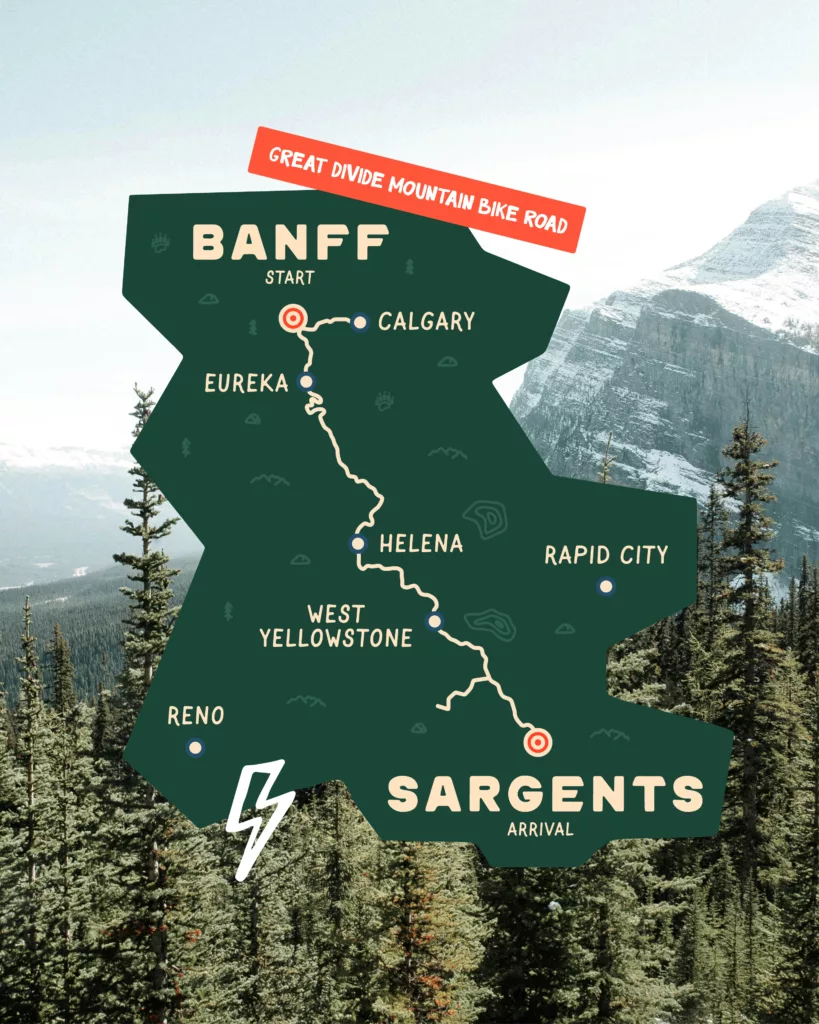

03 · Tour Divide
Great Divide vs Tour Divide: what’s the difference?
The Great Divide is the route: you ride it at your own pace, whenever you like, with whatever detours you like.
The Tour Divide is a race on that route, from Banff to the Mexican border. The rules fit in a few lines: fully self-supported (only shops, motels and bike shops open to everyone are allowed), the clock runs day and night, no entry fee and no prize. The mass start, the “Grand Départ,” takes place in Banff, usually on the second Friday of June. You can also race solo against the clock (an individual time trial) on another date.
- The record belongs to a Frenchman: in 2026, Victor Bosoni finished the Tour Divide in 11 days and 8 hours. For comparison, Britain’s Mike Hall took 13 days and 22 hours in 2016. The course changes a little every year, and so do the records.
- The French are getting into it: Louis Duclaux raced the Tour Divide in 2025. The same year, Axel Carion and Grégory Girard rode the full route in 26 days, unsupported, with 23 nights of wild camping.
- Us: in 2024, the racers left Banff the day before we landed in Calgary. Their bikes weighed around 44 lb (20 kg), ours at least 100 to 110 lb (45 to 50 kg). Some had already finished while we were still grinding through the Rockies!
And in Europe?
No Great Divide, but some little sisters: the French Divide crosses France from north to south, and the Alps Divide crosses the Alps. A good way to test your gear before the big leap.
04 · Section by section
The Great Divide route, section by section
The Adventure Cycling Association splits the route into one Canadian section and six US sections. Here are their official distances, what to remember about each, and what we experienced there.
The route in 7 sections, from Jasper to Antelope Wells
| Section | Km | Key points |
|---|---|---|
| Canada: Jasper → Roosville | 942 km | The Rockies, pass after pass, bears |
| 1: Roosville → Helena (Montana) | 597 km | Forests, old mining country, near Glacier National Park |
| 2: Helena → Colter Bay (Wyoming) | 730 km | Butte, Fleecer Ridge, Lima, between Yellowstone and Grand Teton |
| 3: Colter Bay → Rawlins | 588 km | The Wind River Range passes, then the Great Divide Basin, dry and exposed |
| 4: Rawlins → Salida (Colorado) | 608 km | Steamboat Springs, Breckenridge, Boreas Pass |
| 5: Salida → Grants (New Mexico) | 868 km | Indiana Pass (3,631 m / 11,910 ft), the villages of northern New Mexico |
| 6: Grants → Antelope Wells | 652 km | Pie Town, the Gila National Forest, desert to the border |
Adventure Cycling Association distances, from Jasper (about 3,100 mi / 4,985 km in total). The Tour Divide starts in Banff: 2,696 miles (4,339 km) on its 2026 track.
Our elevation profile, from Calgary to Sargents
Canada: the Rockies right from the start
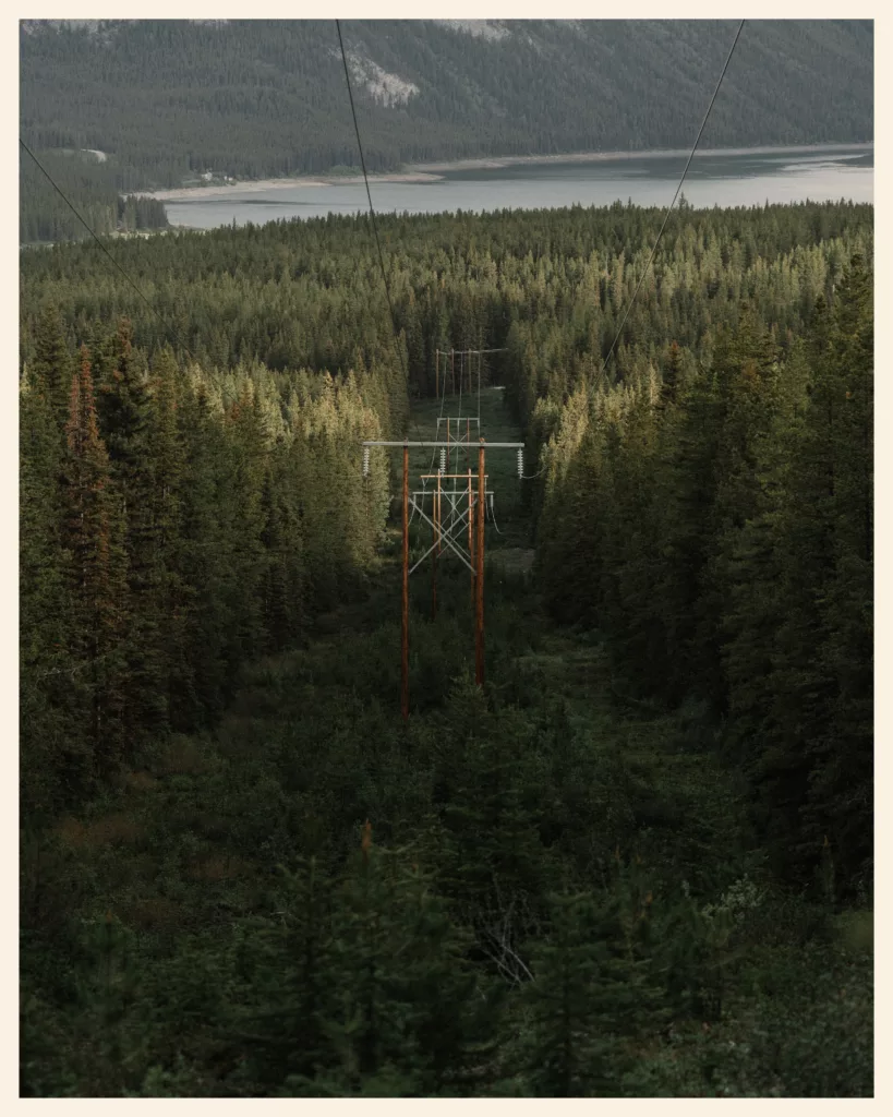
From Jasper, the route heads down to Banff, then runs through Peter Lougheed Provincial Park, over Elk Pass and through Elkford and Fernie to the border. From Banff to the border is one of the toughest parts on the legs: expect about 3,300 ft of climbing every 30 miles (1,000 m every 50 km), grades up to 15%, and alternate routes with hike-a-bike, even proper scree fields. And of course, I picked the hardest ones.
“It was a grizzly… which we’d mistaken for a black bear!”
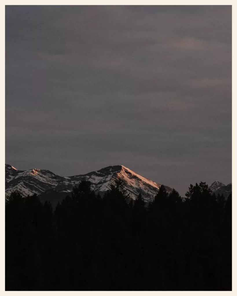
We rode this part in 5 days, from Banff to Eureka. There was still snow along the tracks on the passes, and our first bear showed up on day two. It was a grizzly… which we’d mistaken for a black bear!
After Fernie, the Tour Divide track heads into the Flathead Valley, nicknamed “the Serengeti of North America.” But it hides a dreaded section, “The Wall”, where you push the bike more than you ride it. With our 110 lb (50 kg) bikes, it was out of the question: we left the Tour Divide track for the official Adventure Cycling Association route, 60 miles (97 km) from Fernie to Eureka.
Read our storyBanff → Eureka · 391 km
Montana: the Wild West, ranches and Fleecer Ridge
From the Roosville border crossing to Helena, then on to the gates of Yellowstone, Montana alternates between forests, lakes, old mining towns and wide valleys of sun-scorched grass. Expect about 4,300 ft (1,300 m) of climbing every 62 miles (100 km) between the border and Helena, with steep climbs and frequent heat: it was 100 °F (38 °C) when we rolled into Helena in July.
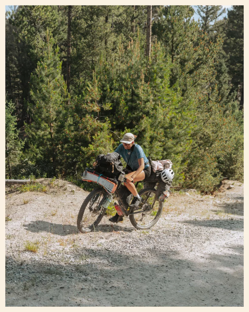
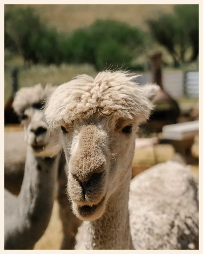
This is also where you’ll find two legendary stops: the old Ovando jail, where cyclists sleep behind bars, and the Llama Ranch, hidden behind an hour of pushing. Farther south, the Fleecer Ridge descent, between Butte and Wise River, is signed at a 26% grade. We went down it holding back our 110 lb (50 kg) bikes, in a constant negotiation with gravity. Marie-Liesse, who cried on every Canadian climb, handled it much better than I did.
Read our story, part 1Border to Helena · 636 kmRead our story, part 2Helena to Red Rock Lakes · 515 km
Idaho and Wyoming: Yellowstone, Grand Teton and the Great Divide Basin
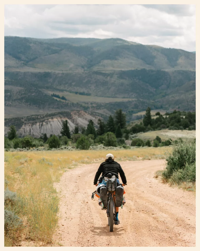
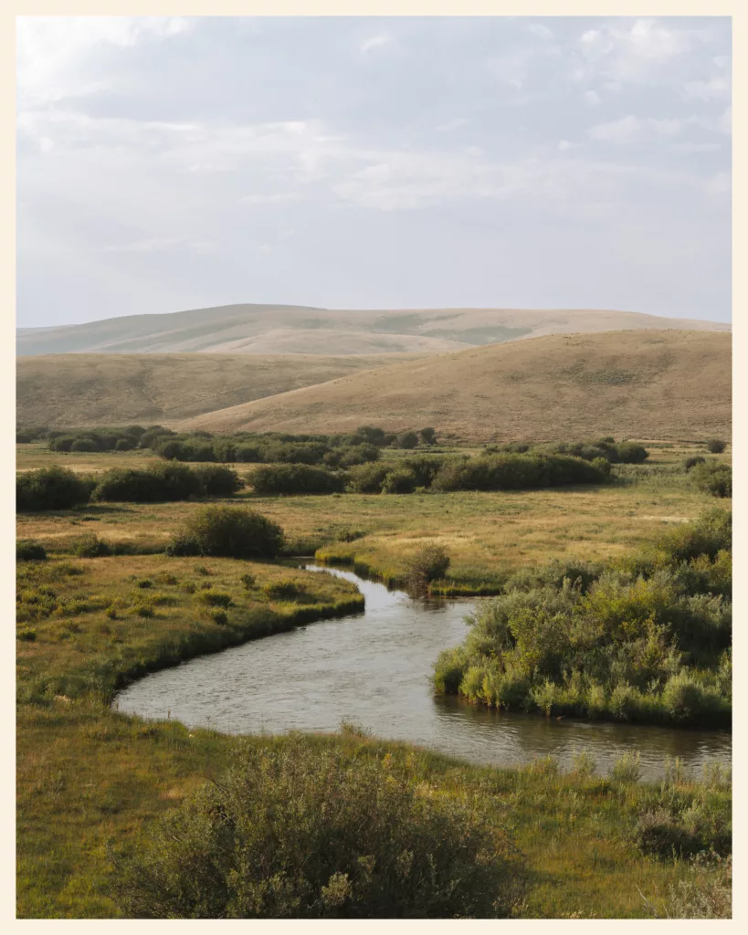
The route only grazes Idaho, then skirts Yellowstone and Grand Teton national parks. Note: the Great Divide doesn’t go through Yellowstone. We made the detour via West Yellowstone, then rejoined the route at Colter Bay. After the Wind River Range passes and Pinedale comes the Great Divide Basin, which cyclists simply call the Great Basin: about 118 mi (190 km) with no trees and no services between Atlantic City and Rawlins.
That’s where we had our best day on the Great Divide: 87 mi (140 km) with a gang of about ten cyclists, from Pinedale to Atlantic City, with a tailwind and a storm at our backs. A month earlier, if you’d told Marie-Liesse she’d be able to do that, she’d have burst out laughing, then burst into tears.
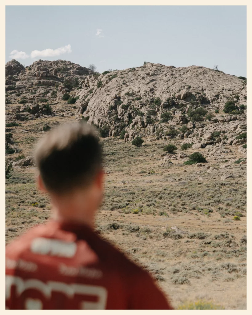
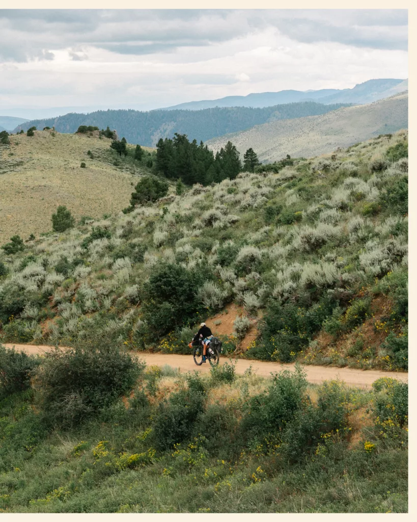
Read our storyTo the Colorado line · 1,155 km
Colorado: high passes, ski towns and thunderstorms
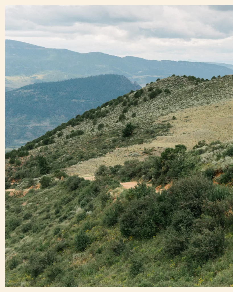
In Colorado, the route goes through Brush Mountain Lodge, Steamboat Springs, the ski towns of Frisco and Breckenridge, then over two big passes built on old railroad grades: Boreas Pass, around 11,480 ft (3,500 m), and Marshall Pass, at 10,842 ft (3,305 m). The climbs are long but steady. In August, we got a thunderstorm almost every afternoon.
At the top of Marshall Pass, after 19 miles (30 km) of climbing, we both cried. That evening, we pitched the tent in Sargents, and the next day, we left the Great Divide. We wanted to head west, across Utah, Nevada, Arizona and California: next stop, Grand Junction and the Kokopelli Trail.


Read our storyBorder to Sargents · 497 km
New Mexico: the part we didn’t ride
We didn’t ride it, so here’s what the sources say. After Salida, the route climbs to Indiana Pass, the high point of the Great Divide (11,910 ft / 3,631 m), then enters New Mexico through the Tusas Mountains and the northern villages. Farther south, it crosses the Jemez Mountains, the badlands, Pie Town and its Toaster House, a home open to cyclists, the Gila National Forest, then the desert to Antelope Wells. It’s the driest and hottest part, and in summer the monsoon turns the dirt roads into sticky mud.
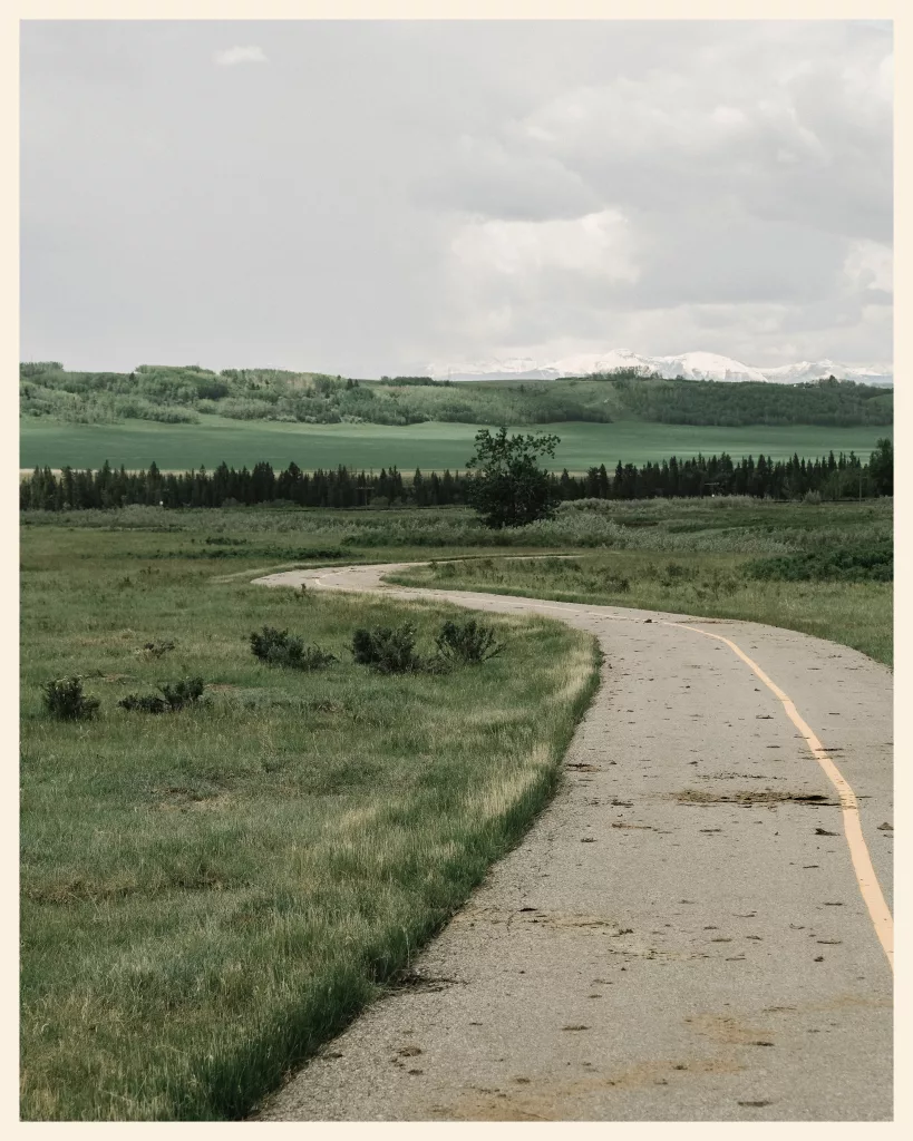
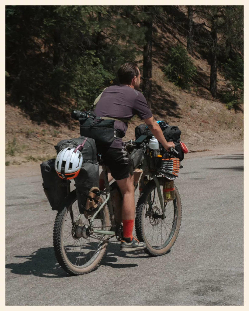
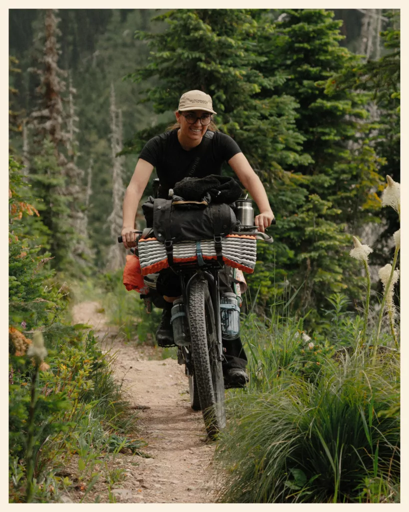
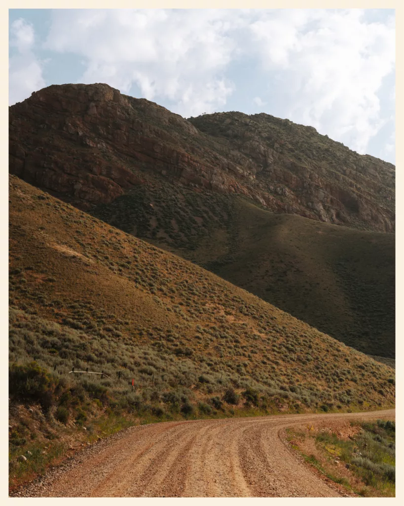
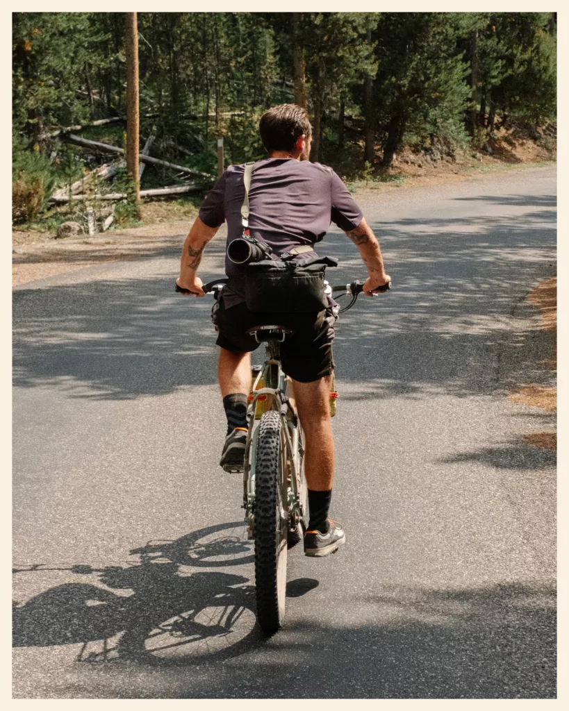
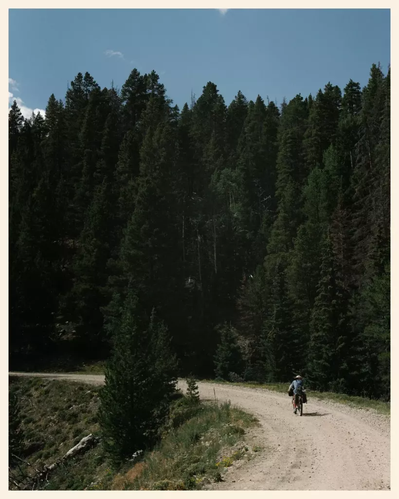
The Great Divide in photos
From Canada to Colorado
A preview: all our photos are in the gallery.
05 · When to go
When to ride the Great Divide, and in which direction
The Adventure Cycling Association recommends riding from late June to mid-October. In the north, the earliest safe start is late June or early July, because of late snow on the passes. In the south, you’d better be off the route by mid-October.
- Southbound (north → south) is the most common: it follows the best weather window, from summer in Canada to fall in New Mexico. The route can also be ridden northbound.
- In June, expect snow on the northern passes. We were there in June: there was still snow along the tracks on the passes, and it reached 95-104 °F (35-40 °C) on the hottest day. Pack clothes for cold as well as heat!
- In July and August, the days are long: the sun sets late, and we made the most of it by riding longer in the mild evenings. Pure joy! It can also get very hot: 100 °F (38 °C) when we reached Helena, and up to 127 °F (53 °C) in the sun on our bike computer in the Great Divide Basin.
- Afternoon thunderstorms: start early and get over the passes in the morning. On the plains, you’re the tallest thing around.
- The monsoon, from late June to September in New Mexico and part of Colorado: the mud clogs the wheels until the bike won’t move. You have to wait for it to dry, or carry the bike.
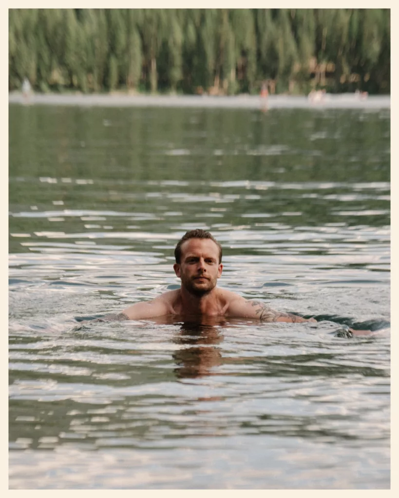
- Wildfires are increasingly common in summer. An orange sky often means a fire, even a distant one. Check the fire maps (InciWeb) and road closures before you go.

06 · The bike
What bike and gear do you need for the Great Divide?
There’s no perfect bike for the Great Divide, but there is a consensus: a mountain bike, or a bike with wide tires.
- The bike: the Adventure Cycling Association recommends a mountain bike frame. Most Tour Divide racers ride a hardtail or rigid mountain bike, often with drop bars. A gravel bike works if its tires are wide enough and your back is tough.
- Tires: width matters more than knobs. South of Salida, thorns (“goatheads”) puncture tires: go tubeless with sealant, or put sealant in your tubes.
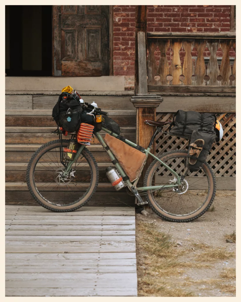
- Our bikes: two Tumbleweed Prospectors with Rohloff hubs, at least 100 to 110 lb (45 to 50 kg) loaded. Too heavy for the Colorado Trail (1.2 miles (2 km) in 2 hours before we gave up), perfect for the Great Divide. All our gear is on our bikepacking setup page.
- Sleep system: a well-ventilated three-season tent and a sleeping bag comfortable below 20 °F (−7 °C), the Adventure Cycling Association advises. Nights are cold at altitude, even in August: in Sargents, it got very cold once night fell.
- Rain: a real rain jacket and rain pants, packed at the top of your bags.
- Safety: bear spray within reach in the north, and a satellite messenger, because cell coverage is rare.
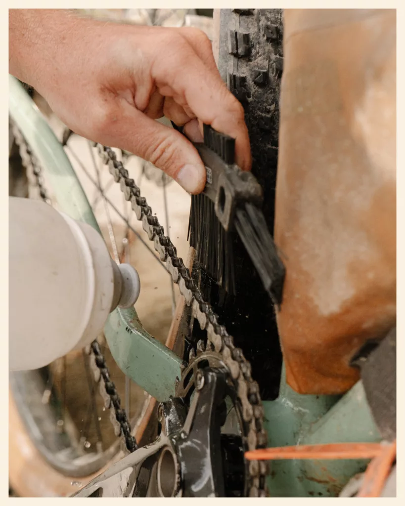
- Repairs: bike shops are few and far between. Carry what you need to fix things yourself, and a way to seat a tubeless tire without a compressor. We spent an hour on the tire of Gary, a British rider, after Fleecer Ridge!

07 · Water and food
Water and resupply on the Great Divide
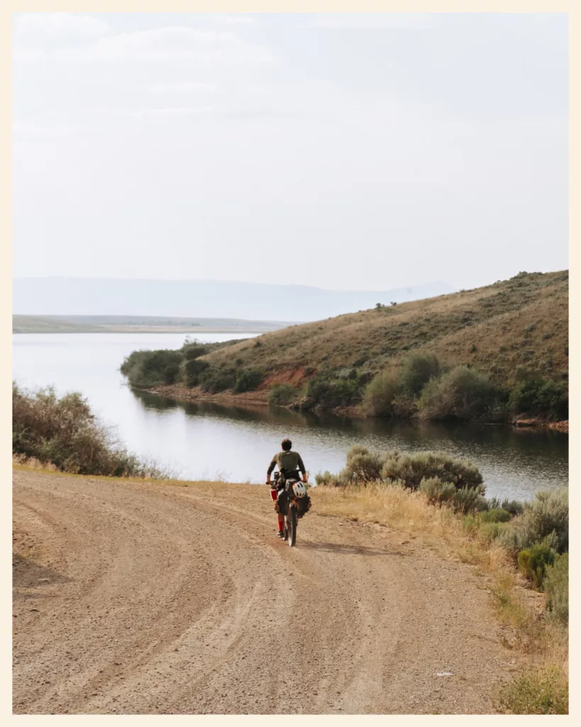
Good news: resupplying on the Great Divide is fairly easy. On most sections, you pass through a town every 2 to 3 days. In bigger towns, you’ll often find a Walmart or another supermarket; in smaller ones, a grocery store. In between, there are gas stations, which are pricier. According to bikepacking.com, there are only a few days on the whole route without at least one gas station along the way. Only a handful of gaps exceed 100 mi (160 km) without services: you just need to plan for them.
Where to buy food
- Canada. Supermarkets: Banff. Small towns (grocery or gas station): Elkford, Fernie. Plan ahead for: the Flathead Valley, if you follow the Tour Divide track.
- Montana. Supermarkets: Eureka, right after the border; Whitefish (12 miles (20 km) off route, with a bike shop), Helena, Butte. Small towns (grocery or gas station): Seeley Lake, Lincoln, Lima. Plan ahead for: Butte → Lima, 3 days of food.
- Idaho and Wyoming. Supermarkets: near Big Springs (Idaho), Rawlins (Walmart). Small towns (grocery or gas station): West Yellowstone, the Grant Village campground store (Yellowstone), the Pinedale gas station. Plan ahead for: the passes before Pinedale (2 days of food); Pinedale → Rawlins, the Great Divide Basin.
- Colorado. Supermarkets: Steamboat Springs, Frisco, Breckenridge, Salida. Small towns (grocery or gas station): Sargents (gas station and restaurant), Del Norte.
- New Mexico. Supermarkets: Grants, Silver City (Walmart). Small towns (grocery or gas station): Cuba (small but well-stocked grocery); Pie Town has no grocery store, but the Toaster House keeps food supplies on a donation basis. Plan ahead for: Polvadera Mesa; Abiquiu → Platoro (Colorado).
Most cyclists don’t mail resupply boxes: they stock up in the bigger towns. Still, check opening hours when you have signal, especially in small villages: in Wyoming, the café at the foot of the passes before Pinedale had nothing to sell.
How much water to carry
- In Canada and Montana, there’s no shortage of rivers: 2 liters is often enough, with a filter. Carry more for a big pass, and in July, when water sources marked on maps can be dry (like the pump at the Clark Canyon campground).
- In the Great Divide Basin, between Pinedale and Rawlins, we each left with about 2.5 gallons (ten liters). Water sources are rare: Diagnus Well and A&M Reservoir. Ask cyclists who’ve just come through what state the sources are in.
- In New Mexico, the Adventure Cycling Association advises carrying 3 to 4 gallons (11 to 15 liters) on the driest sections.
- Filter everything, and stay wary of reservoirs where cows drink. We filtered the water at A&M Reservoir: that’s probably where I picked up the bacterial infection that had me doubled over for nearly two weeks. When in doubt, add purification tablets, or boil it.
- Ask: drivers, campers, locals. Nobody ever said no to us.
What to eat
Our typical menu: oatmeal with fruit and nuts in the morning, tortillas filled with whatever we could find at lunch, ramen, rice or pasta in the evening. Between Butte and Lima, plan at least three days of food. And when an all-you-can-eat buffet crosses your path, like at Colter Bay, go for it: it’s worth every dollar!
08 · Where to sleep
Where to sleep on the Great Divide
About one night in three is spent at wild, undeveloped sites, according to the Adventure Cycling Association. The rest of the time, you have options.
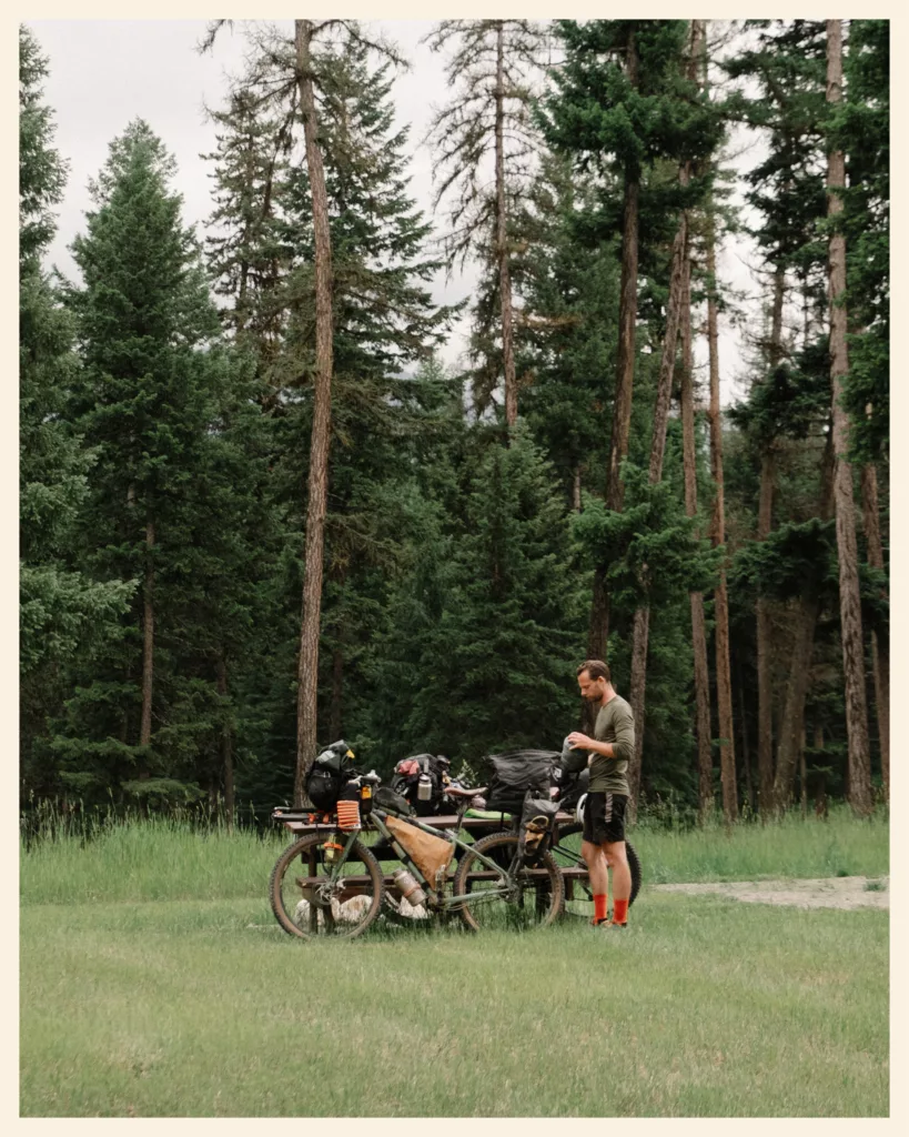
- Dispersed camping: it’s free on national forest and Bureau of Land Management (BLM) land, as long as you leave no trace. In national parks like Yellowstone and Grand Teton, it’s not allowed.
- Campgrounds: usually 20 to 30 dollars a site ($25 at Holland Lake, Montana). Around the lakes, many fill up in summer. Self-service campgrounds, where you drop an envelope in a box, are perfect: always keep some cash. Yellowstone campgrounds set aside sites for cyclists, around 10 dollars per person.
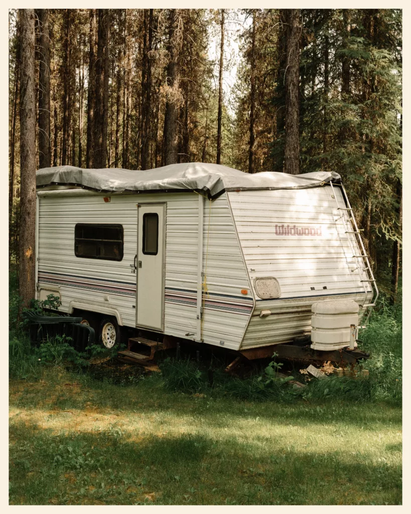
- Cyclist stops: the Ovando jail, the Llama Ranch near Helena (free, in exchange for a good deed for someone else), the Basin community hall (5 to 10 dollars per person), Monique and Bernard’s garden in Atlantic City, Brush Mountain Lodge in Colorado (we pitched our tent in the garden), and the Toaster House in Pie Town, New Mexico.
- Warmshowers: this free hospitality network for cyclists works really well on the Great Divide. Marie-Hélène and Johnny in Fernie, John in Butte, Christy in Pinedale, Jody in Steamboat Springs: we owe them a lot. In ski towns, like Frisco, our messages went unanswered.
- Motels: usually 60 to 100 euros (about $65 to $110) a night, much more in ski towns (around 200 euros in Breckenridge). Always ask if there’s a cyclist discount: in Rawlins, it worked!


09 · Bears
Bears on the Great Divide
Grizzlies and black bears live all along the northern part, from Canada down to Pinedale, Wyoming. Farther south, there are only black bears. We saw several in a few weeks, including a grizzly on day two and a black bear 16 ft (five meters) from me.
- Bear spray (pepper spray for animals) belongs within reach, never at the bottom of a bag. It’s banned in airplane cabins, and most airlines refuse it in checked bags too: buy it when you arrive.
- Food never sleeps in the tent: use campground bear lockers, or hang it high, away from tree trunks. Cook away from your tent.
- The rules: several national forests in Montana, Idaho and Wyoming have food storage orders requiring a certified bear-resistant container or an approved method. Check them before you go: they’re renewed regularly.
- Ovando will remind you why: in July 2021, a cyclist was killed there by a grizzly, in the middle of the night, at the village campground.
The Great Divide isn’t marked. You need a GPX track on a GPS unit or your phone, and offline maps: cell service disappears quickly in the mountains, and we almost never had any in Yellowstone.
- The official route: the Adventure Cycling Association’s, on Ride with GPS, with services and field notes. The organization shut down its app in 2025. Its paper maps are still useful for the big picture.
- The Tour Divide track: published every year on bikepacking.com, it differs slightly from the official route.
- Before you go: check route updates and closures (fires, construction), and note the water sources.
- A satellite messenger (Garmin inReach, SPOT) lets you send updates and call for help without cell service.
How we navigated
- On the handlebars: a Garmin Edge 1040, my GPS (since replaced by a Coros Dura: my review), with the track downloaded from bikepacking.com.
- To plan the stages: komoot, the paid version, which splits the track into multi-day stages.
- To reassure our parents: a Garmin inReach Mini 2, which sends our position when we have no signal.
11 · Paperwork
Paperwork, getting there and getting home (for Europeans)
If you’re American or Canadian, you can skip straight to the budget.
The United States: ESTA or B-2 visa?
- The ESTA: with a passport from a Visa Waiver Program country (France and most of the EU), it covers a stay of up to 90 days. It’s also required if you enter by land from Canada, as you do on the Great Divide.
- The B-2 tourist visa: to stay longer. We spent more than four months in the United States, so we needed one. We filled out an online form with about 200 questions, paid a 185-dollar fee each, then had an interview at the US embassy in Paris. Plan ahead: you need to get an appointment before you leave. At entry, the officer decides how long you can stay: up to six months for us.
- At the Roosville border: questions, fingerprints and a fee (30 dollars for us). Have a clear answer ready about your route and your exit date. Five months on a bike raises eyebrows!
Canada
To fly into Canada with a French (or most EU) passport, you need an eTA, the electronic travel authorization, which you apply for online before you leave.
Getting to Banff and back from Mexico
- Getting there: fly to Calgary with your bike. We flew WestJet. Leaving Paris, we were promised our bikes would be “pampered”… In Calgary, no bikes: thanks to the AirTag slipped into the box, we could see they’d stayed in Paris. They arrived four days later. Put an AirTag in your bike box, and write down the contact details for the oversized baggage service.
- From Calgary to Banff: a shuttle, or two days on the bike via Cochrane, like we did.
- Getting home: Antelope Wells has no lodging and no services. An open-jaw ticket (arriving in Calgary, flying home from another city such as El Paso, Tucson or Albuquerque) saves you from backtracking. Budget a few hundred dollars for transportation at each end.
12 · The budget
Great Divide budget
The United States is expensive, and the Great Divide is no exception, especially because you often resupply at gas stations.
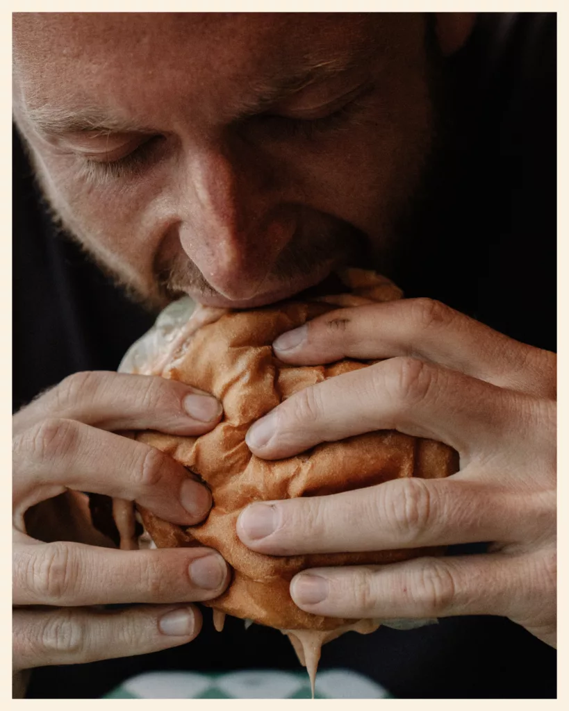
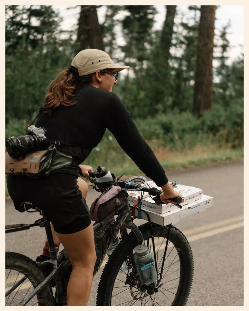
- Food: at least 15 euros (about $16) for the simplest restaurant burger. An American “medium” pizza already feeds two starving cyclists. Good news: Montana has no sales tax, unlike Idaho and Wyoming.
- Sleeping: free when dispersed camping, with Warmshowers hosts and at cyclist stops; 20 to 30 dollars for a campsite; 60 to 100 euros (about $65 to $110) for a motel.
- National parks: since January 1, 2026, visitors who don’t live in the United States pay an extra 100 dollars per person at Yellowstone and Grand Teton alike, unless they have the annual non-resident pass (250 dollars).
- Our budget: we usually travel on 10 euros a day per person. In the United States, there was no way to stick to that!

13 · Our tips
Our tips after 2,000 miles (3,200 km) on the Great Divide
We don’t claim to be role models. But here’s what we wish we’d known before setting off.
- Don’t try to follow the track 100%. At first, I wanted to follow it to the letter, like the racers. Every detour felt like a betrayal. Then Marie-Liesse got injured, we skipped a section known to be hellish, and dozens of cyclists admitted they’d skipped it too. Since then, I breathe easier. And we argue a lot less!
- The first weeks are the hardest. Marie-Liesse cried on every Canadian climb for a month. A month later, she rode 87 mi (140 km) across the Great Divide Basin. Hang in there.
- Fit your bike to your route, not the other way around. At 110 lb (50 kg), the Great Divide works; the Colorado Trail doesn’t.
- Stop and meet people. Barbara and John at the Llama Ranch, Christy in Pinedale, Monique and Bernard in Atlantic City: our best Great Divide memories all have names.
- Listen to the cyclists riding the other way. They know where the water is, where the bears are and which campground is worth the detour.
- And our number one tip? Go for it!
Our tracks
Routes and GPX tracks
This guide's track, to follow or download on Ride with GPS.
-
01Great DivideBanff → Sargents · 4 segmentsCanada Montana Idaho Wyoming Colorado
14 · Questions
Your questions about the Great Divide
How long is the Great Divide Mountain Bike Route?
How long does it take to ride the Great Divide?
When is the best time to ride the Great Divide?
Do you need a permit to ride the Great Divide?
Can you ride the Great Divide on a gravel bike?
Are there bears on the Great Divide?
What’s the difference between the Great Divide and the Tour Divide?
Is there a Great Divide in Europe?
Got another question? Write to us.
Write to us15 · Our stories
Our Great Divide stories

Bikepacking Canada on the Great Divide: from Calgary and Banff to Montana
350 mi23,100 ft of elevation gain
Bikepacking Montana on the Great Divide (part 1): from the Canadian border to Helena
395 mi26,000 ft of elevation gainJune–July 2024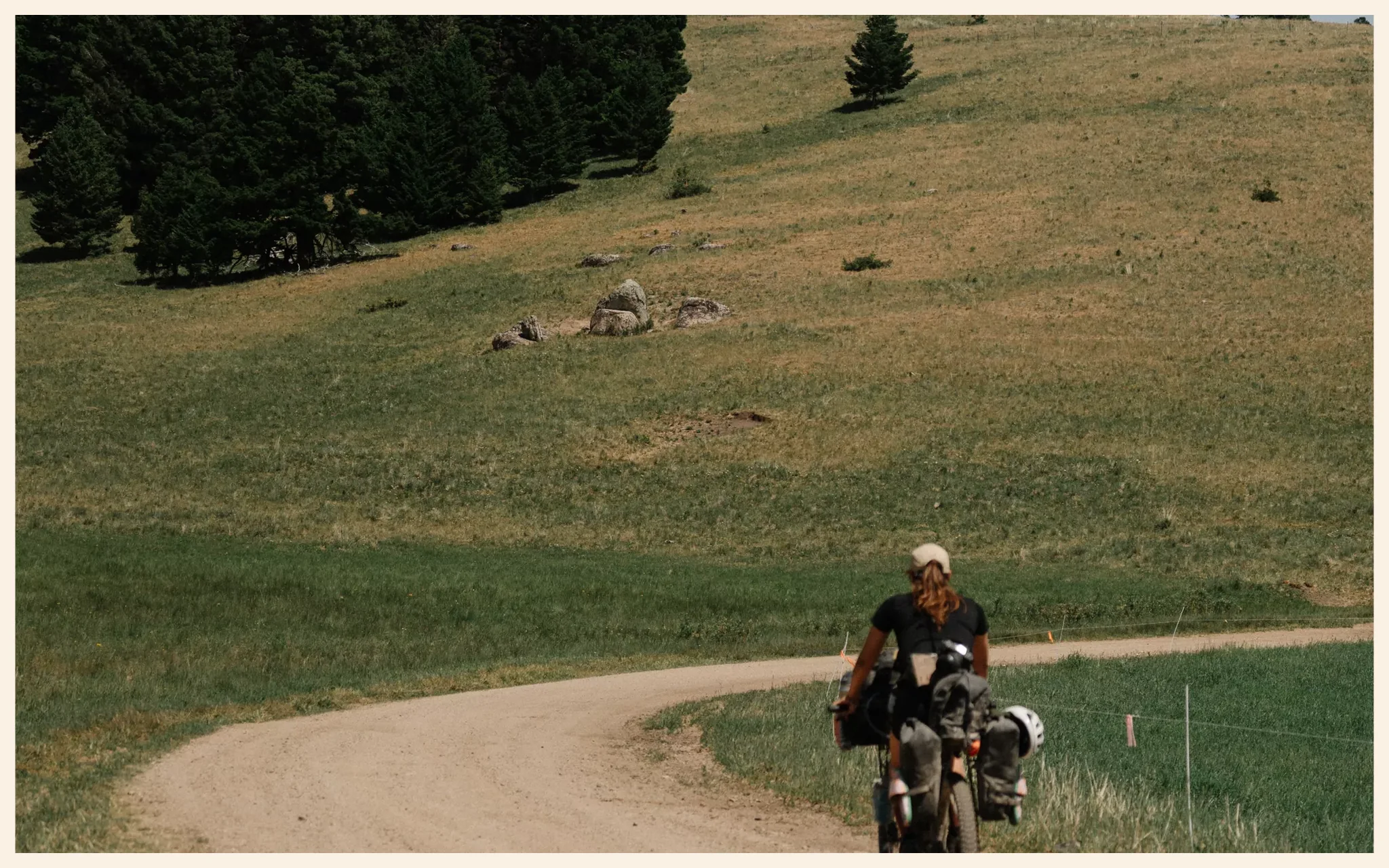
Bikepacking Montana on the Great Divide (part 2): from Helena to the gates of Yellowstone
320 mi19,600 ft of elevation gainJuly 2024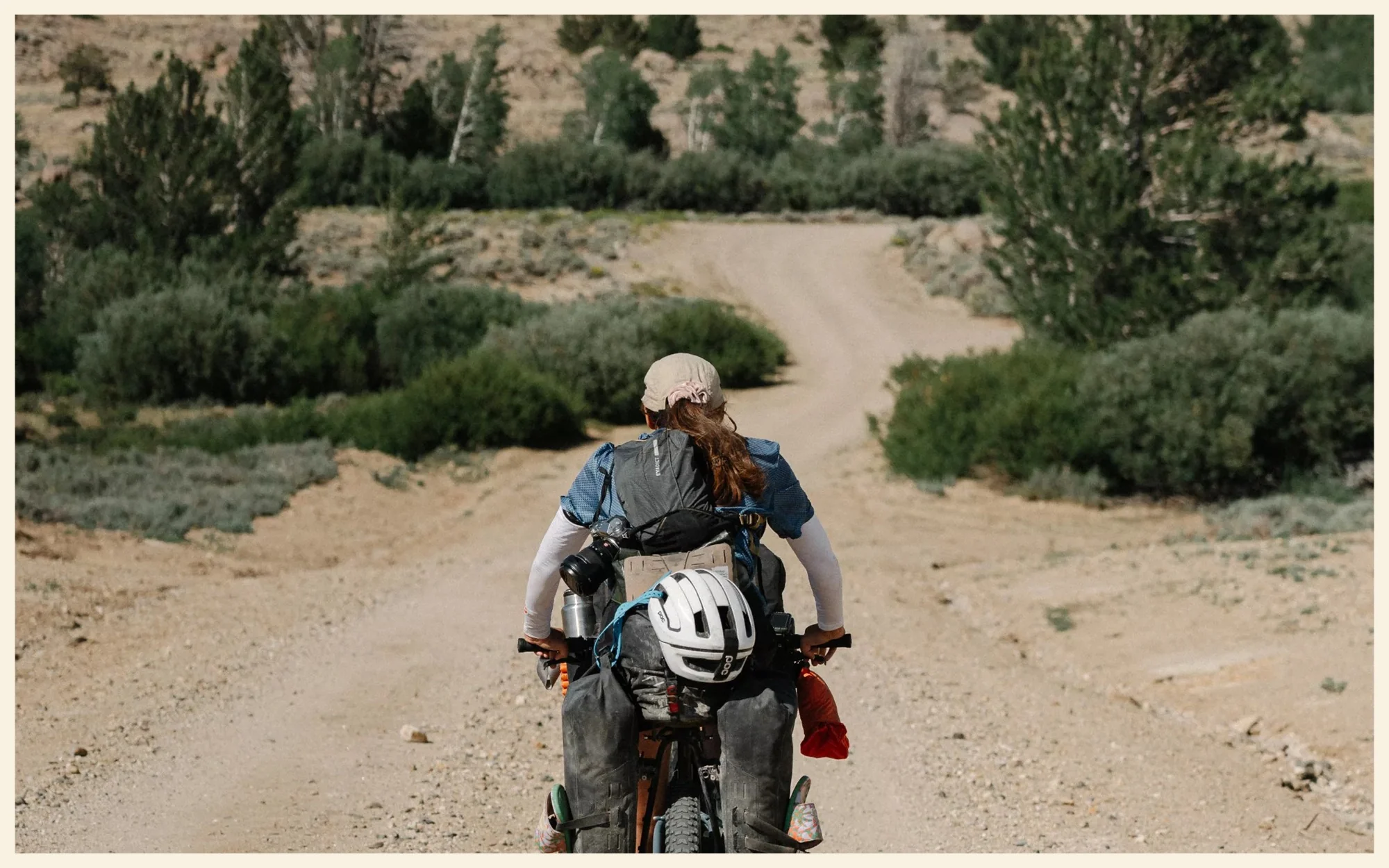
Bikepacking Wyoming on the Great Divide: from Yellowstone to the Great Divide Basin
720 mi35,400 ft of elevation gainJuly–August 2024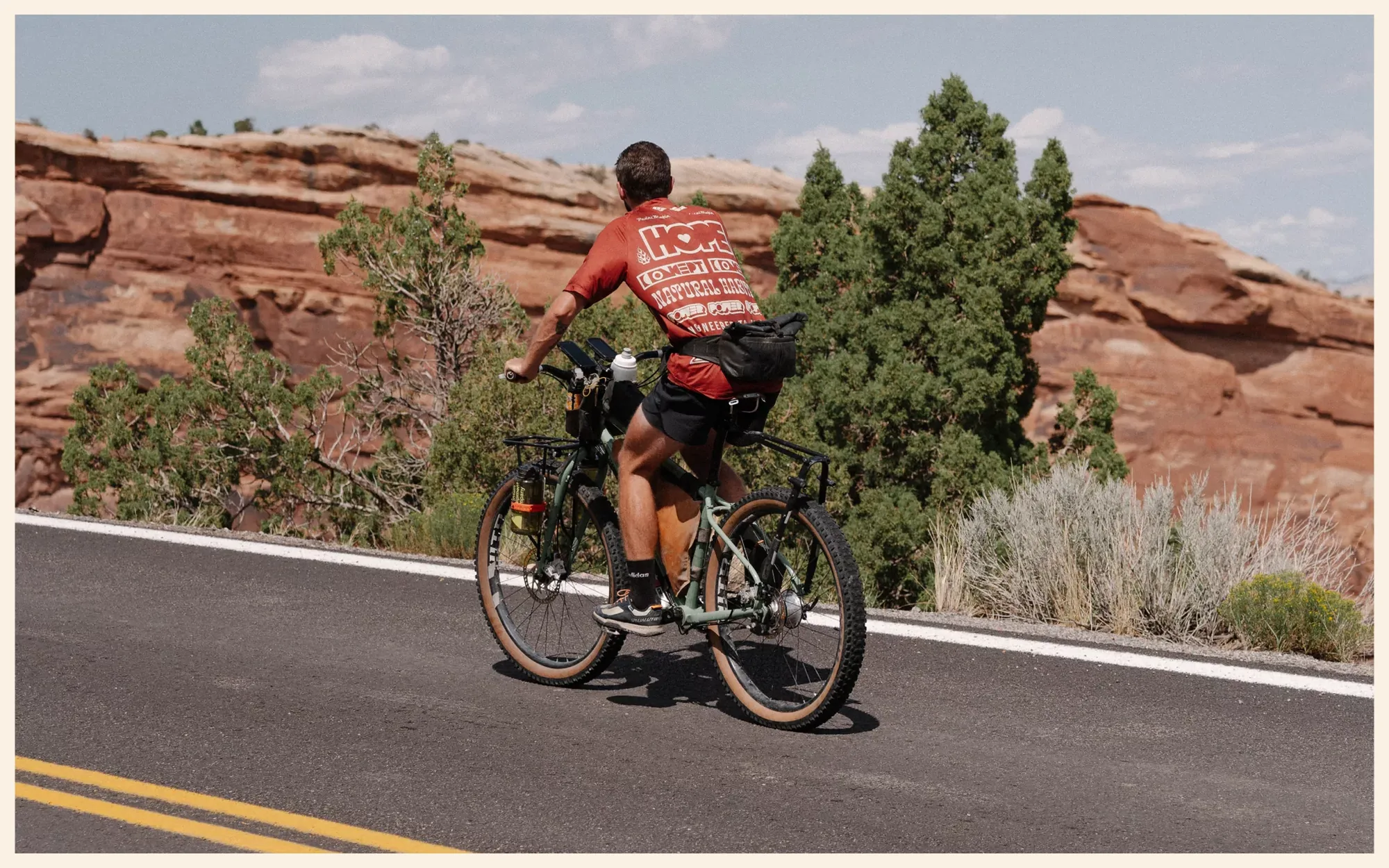
Bikepacking Colorado on the Great Divide: Marshall Pass and the Kokopelli Trail
400 mi28,000 ft of elevation gainAugust 2024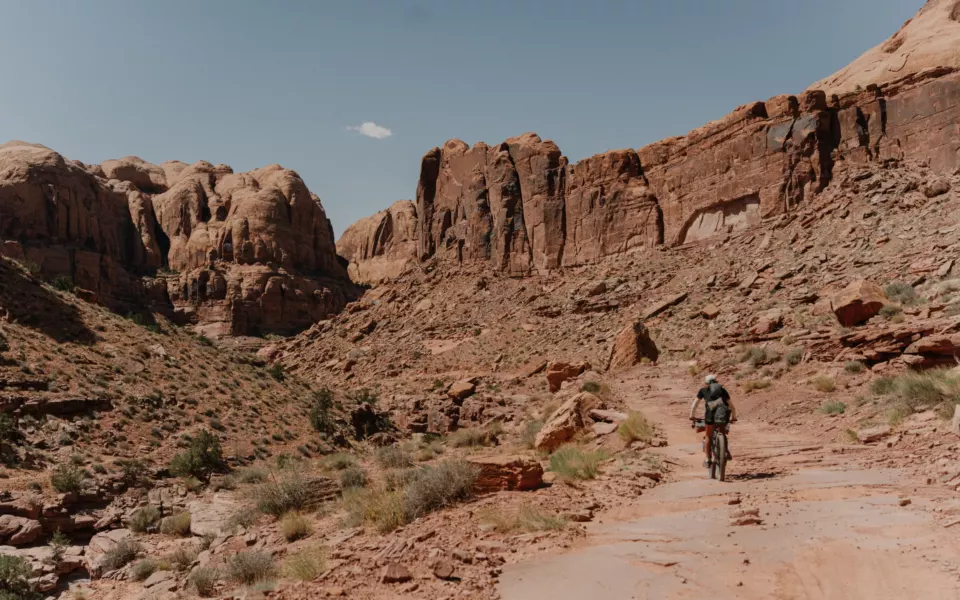
Bikepacking Utah: from the Kokopelli Trail to Lake Powell
And for the rest of the trip, see you in Utah, on the Kokopelli Trail. All the episodes (in French) are on the Podcast page.